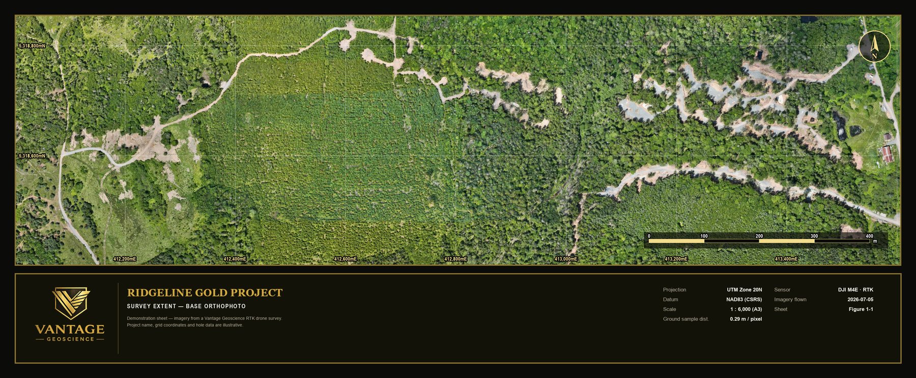
Orthomosaics
Photographic base maps at centimetre-scale ground sampling — the site as it actually is.
SRV-042_ORTHO_RGB.TIF
VANTAGE GEOSCIENCE — EXPLORATION SUPPORT · DRONE MAPPING · CUSTOM SOFTWARE
Exploration support from first boots on the property to the final press release — field crews, survey-grade aerial mapping, and software shaped to the way you work.
ACT 00 GROUND
Vantage plans, staffs and runs exploration programs under real field conditions — organized execution, decision-ready records, and crews that arrive ready to work.
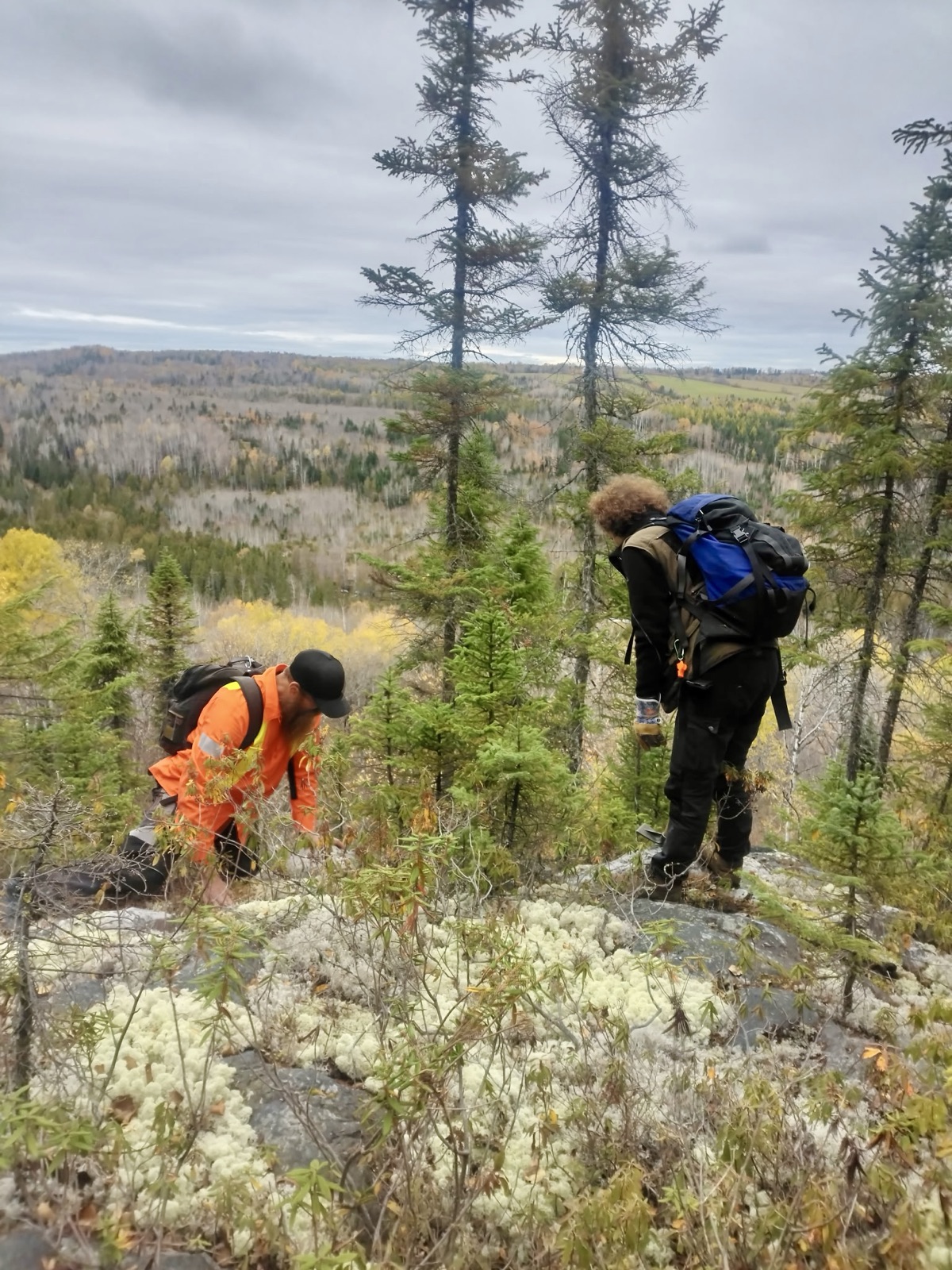
CREW MANIFEST
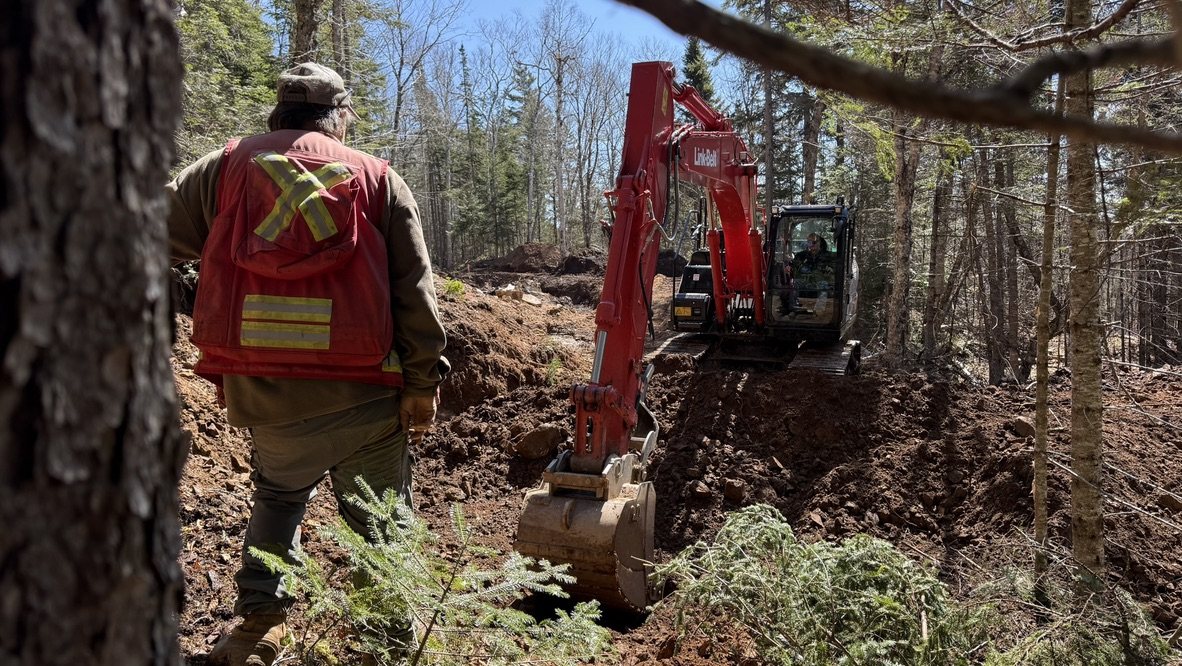
PROJECT SUPPORT
ACT 01 FIELD OPS — 0 M AGL
Six core field services, backed by the technical support that turns samples and mapping into decisions.
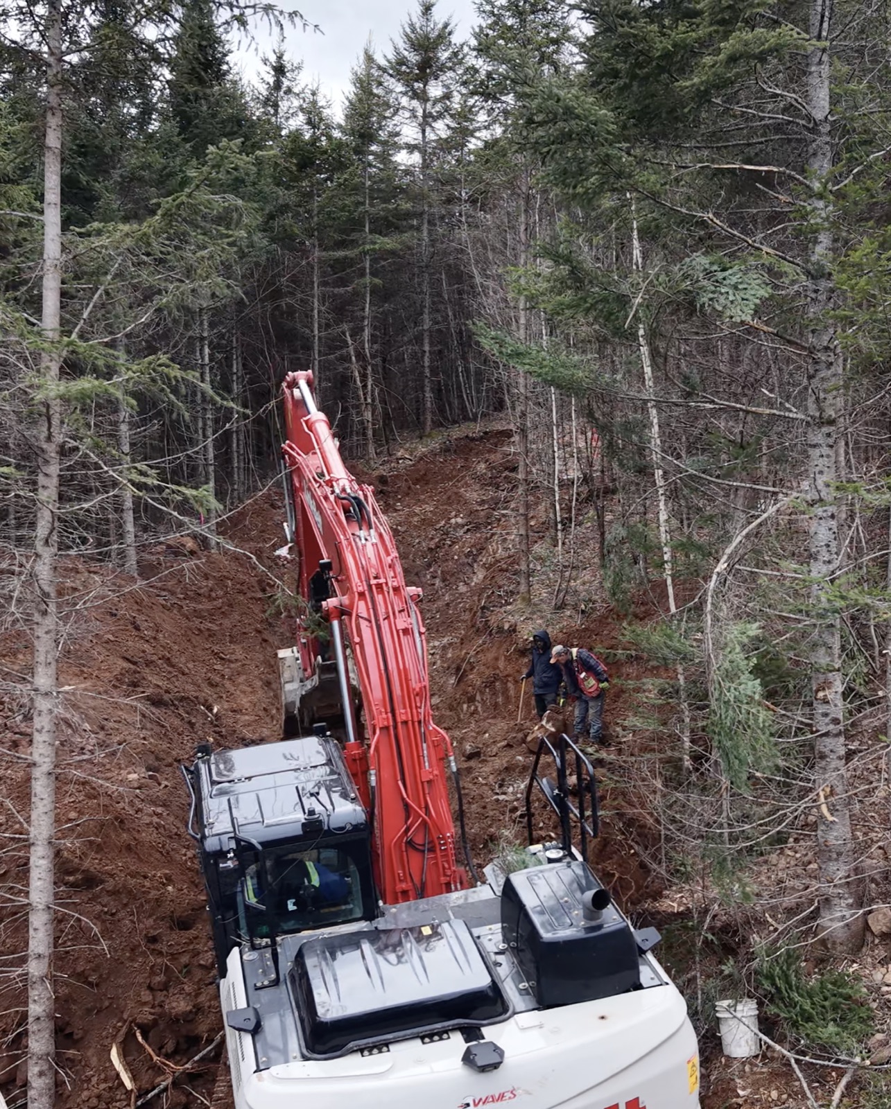
FIELD SERVICES
TECHNICAL SUPPORT
Boots can only cover so much.
ACT 02 AIR — 120 M AGL
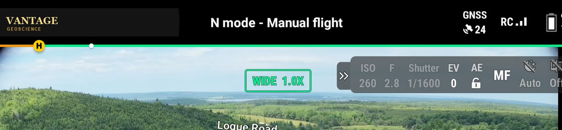
Licensed pilots and the right aircraft for the job — mapping, lidar, thermal, inspection and more.
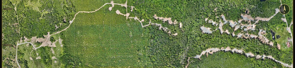
Orthomosaic base maps, elevation models and contours — a current, survey-ready picture of the whole property.
Stabilized aerial video and stills, shot on your active program — ready for investor decks, press releases and project pages.
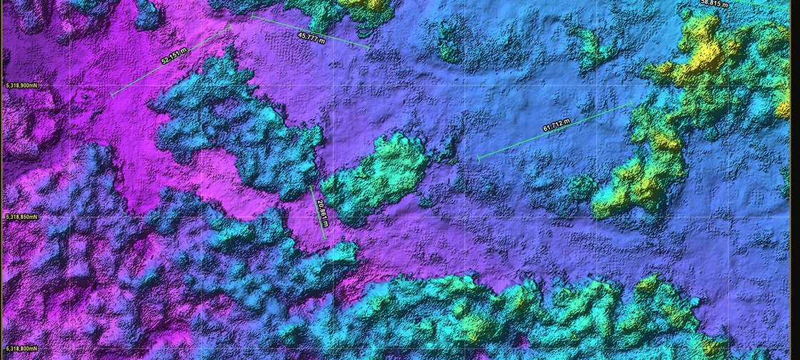
Dense photogrammetric point clouds — the site's raw geometry, ready for volumes, modelling and engineering.
SURVEY IN PROGRESS — RTK FIX HELD
Every pass tied to control. Survey-level accuracy, delivered as data you can build on.
DELIVERABLES SURVEY-LEVEL, EVERY TIME
Photographic base maps at centimetre-scale ground sampling — the site as it actually is.
SRV-042_ORTHO_RGB.TIF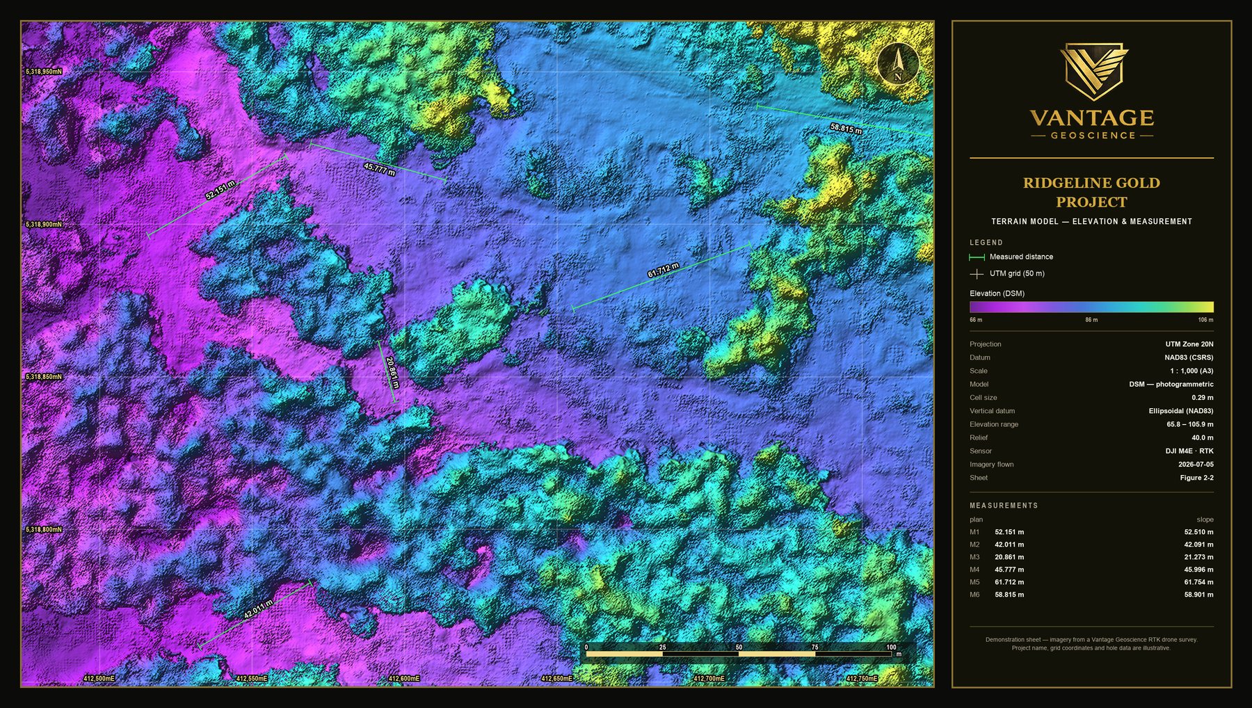
DSM and bare-earth DTM surfaces for design, drainage and volumes.
SRV-042_DTM_0P29M.TIF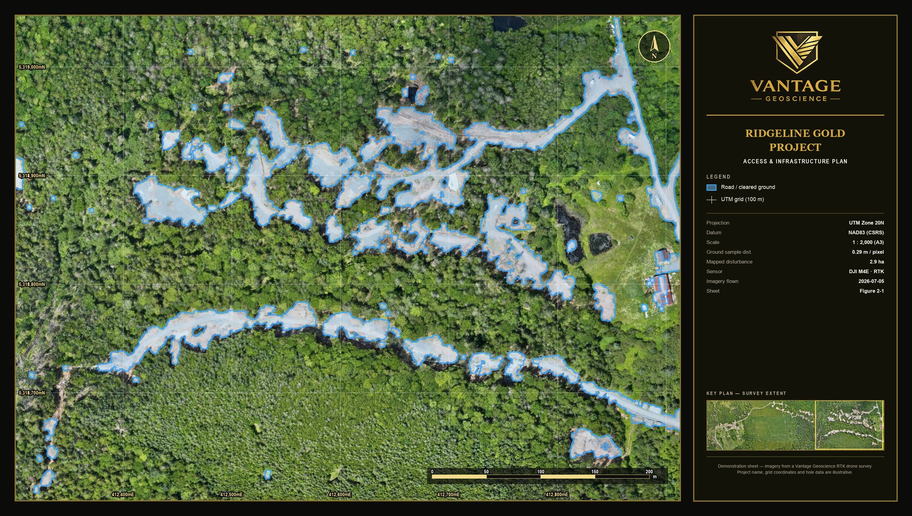
As-built access, pads and infrastructure — current, not last season's sketch.
SRV-042_SITEPLAN.DWGWhat the air captures, the software has to carry.
ACT 03 MODEL SPACE
Custom software, shaped to your operation. Not a product you adapt to — a system built around how your team already logs, samples and reports.
WHAT IT IS
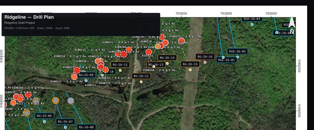
Vantage Core holds the whole program, from the first traverse on foot to the last assay — outcrop, float and till, soil grids, collars and downhole surveys, core logs, assays with the lab certificate attached, and the holes still to be planned. It reads from the records your crew already keeps, so the data arrives without a week of transcribing.
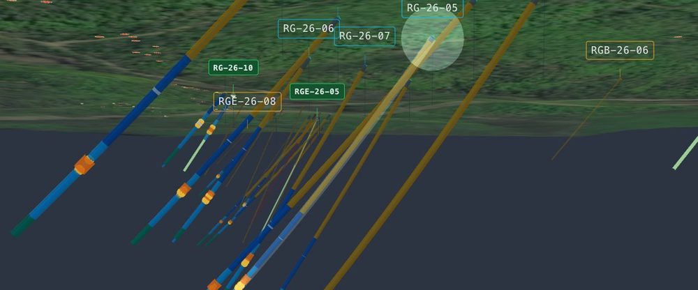
Everything is drawn where it happened — the outcrop a prospector sampled last season sits on the same map as this year's holes. One dataset renders as the program map, the 3‑D model and the hole-by-hole record, so there are no exports between three pieces of software that disagree.
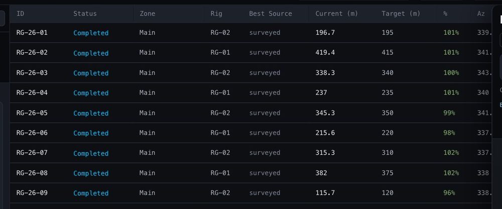
It's configured around your operation during onboarding — your logging codes, your sampling workflow, your reporting formats. AI takes the repetitive checking and gives an early read on what's there, so the work that reaches your geologists is the work that needs judgement.
CAPABILITIES ACROSS THE PROGRAM
Built around your program — not the other way around.
Talk about your buildACT 04 REPORTING · DISCLOSURE · COMMUNICATIONS
Everything the field produced — records, maps, models — carried through to the documents your project stands on, and the story it tells the market.
Organized reporting workflows and practical disclosure support — field reports, technical summaries, and assistance with NI 43-101-related deliverables. Clear, professional, and true to the realities of the project.
Press releases, project updates, presentation support and investor-facing materials — grounded in technical understanding, so the message stays credible while remaining accessible to the audience it's written for.
CONTACT READY WHEN YOU ARE
Preparing for a field season, refining targets, or building a more structured approach to execution — start the conversation.